Parque Nacional Pan de Azúcar
Un Oasis de Niebla en el Desierto de Atacama
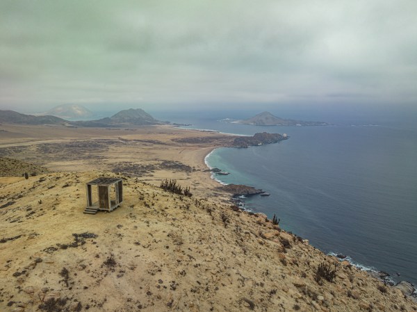
Mirador Chico
El Sendero se inicia en el Centro de Información Ambiental, donde se encuentra el estacionamiento.
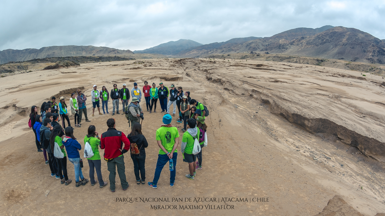
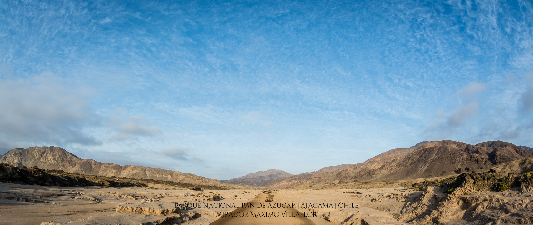
La ruta se interna con rumbo noreste por el antigüo cono fluvial de la quebrada pan de azúcar, es el único circuito autoguiado disponible en la unidad, posee un recorrido total de 11 kms, el que es posible realizar en aproximadamente 4 horas.
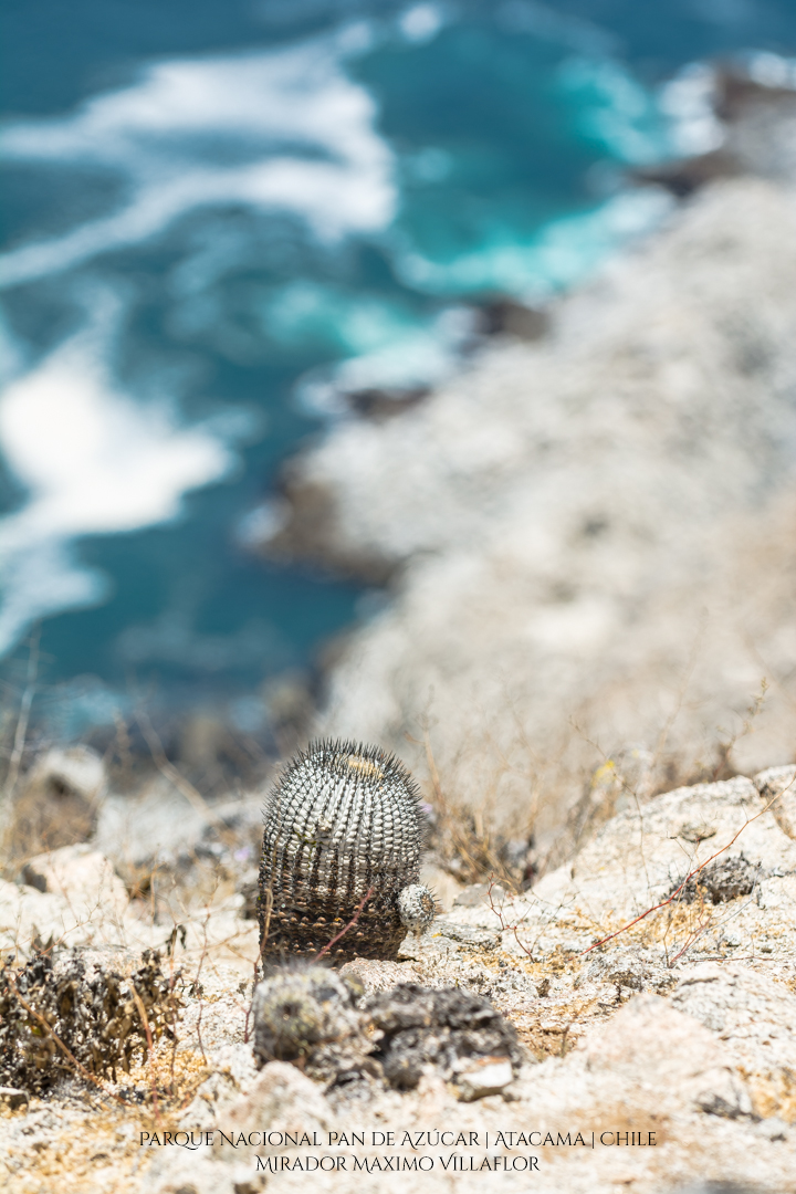
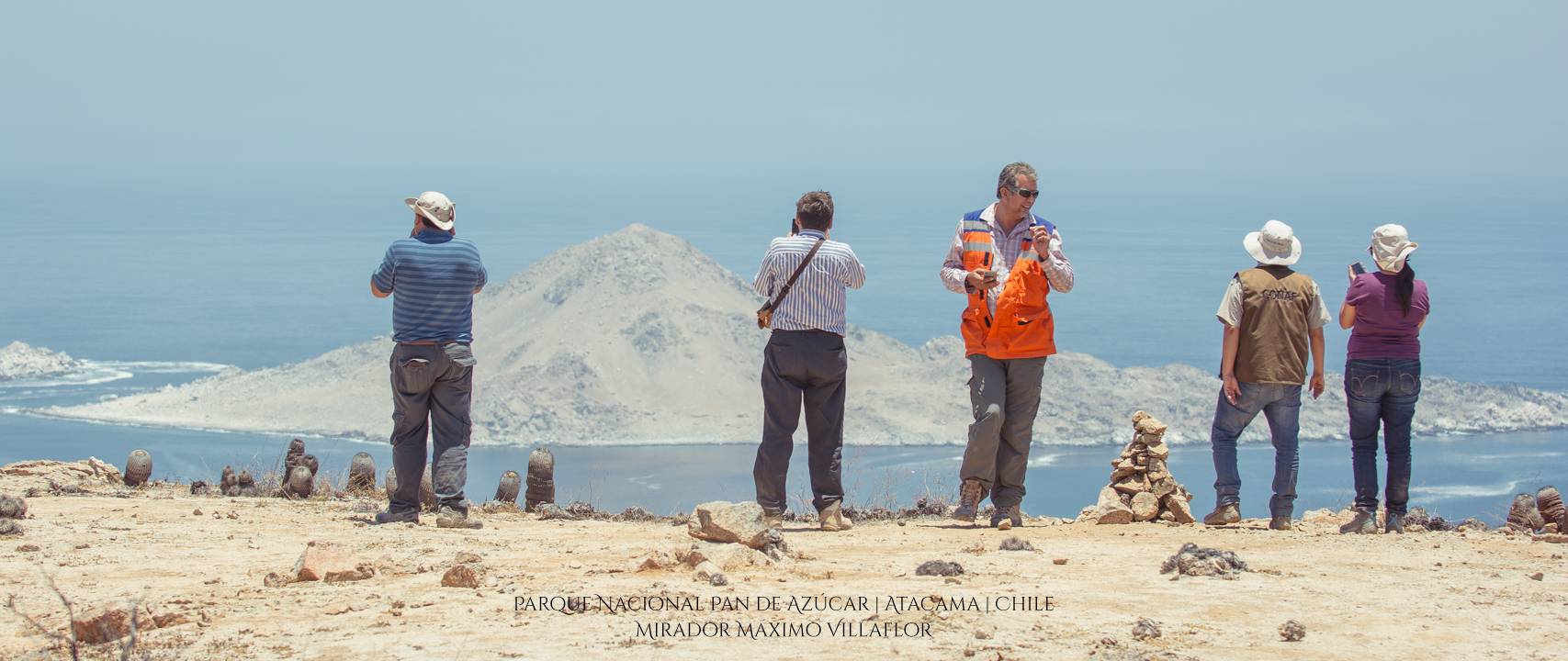
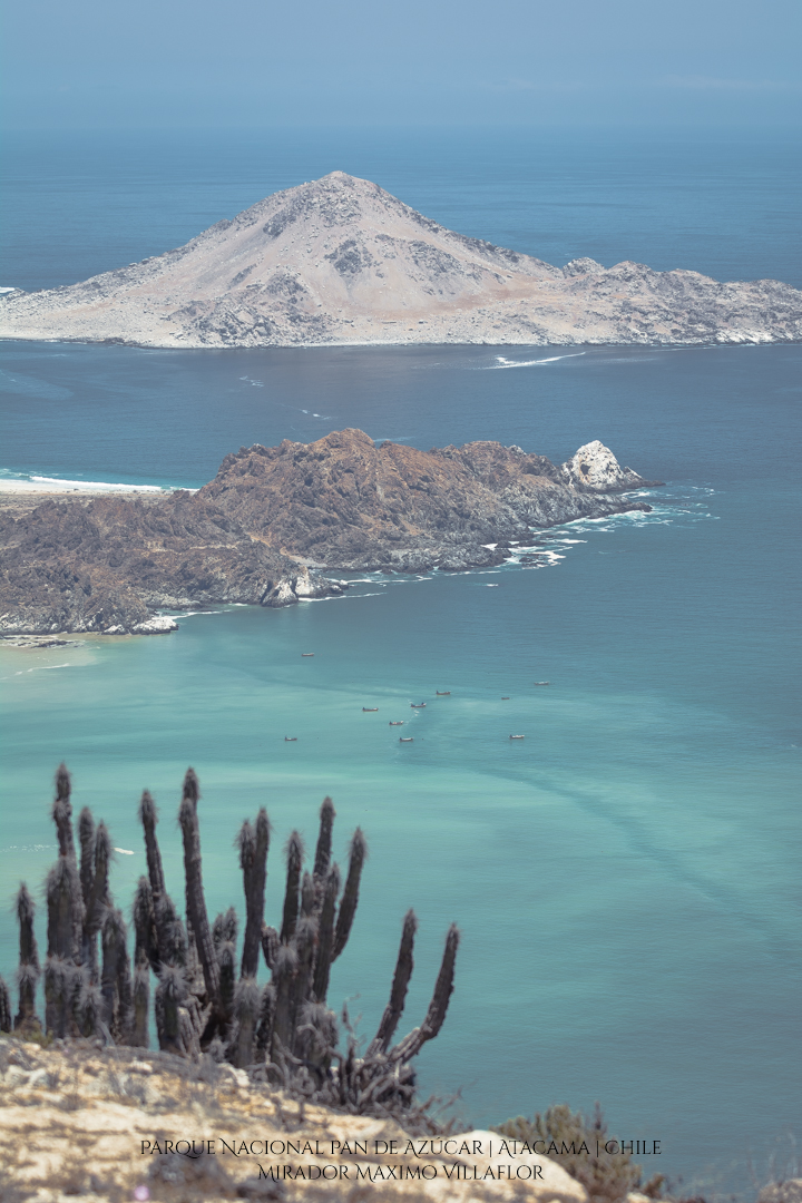
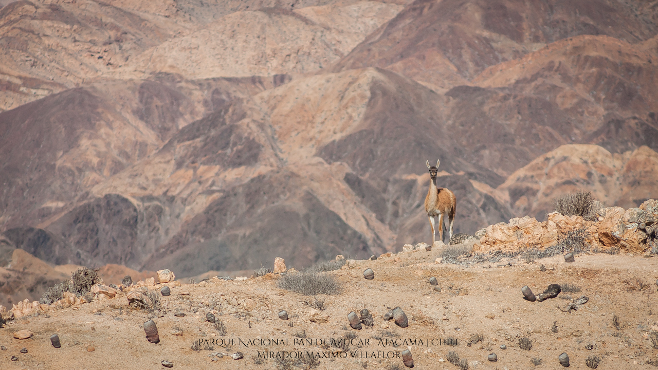
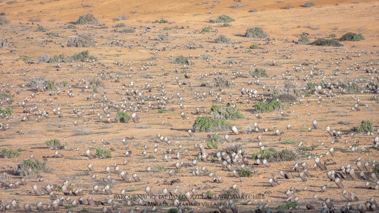
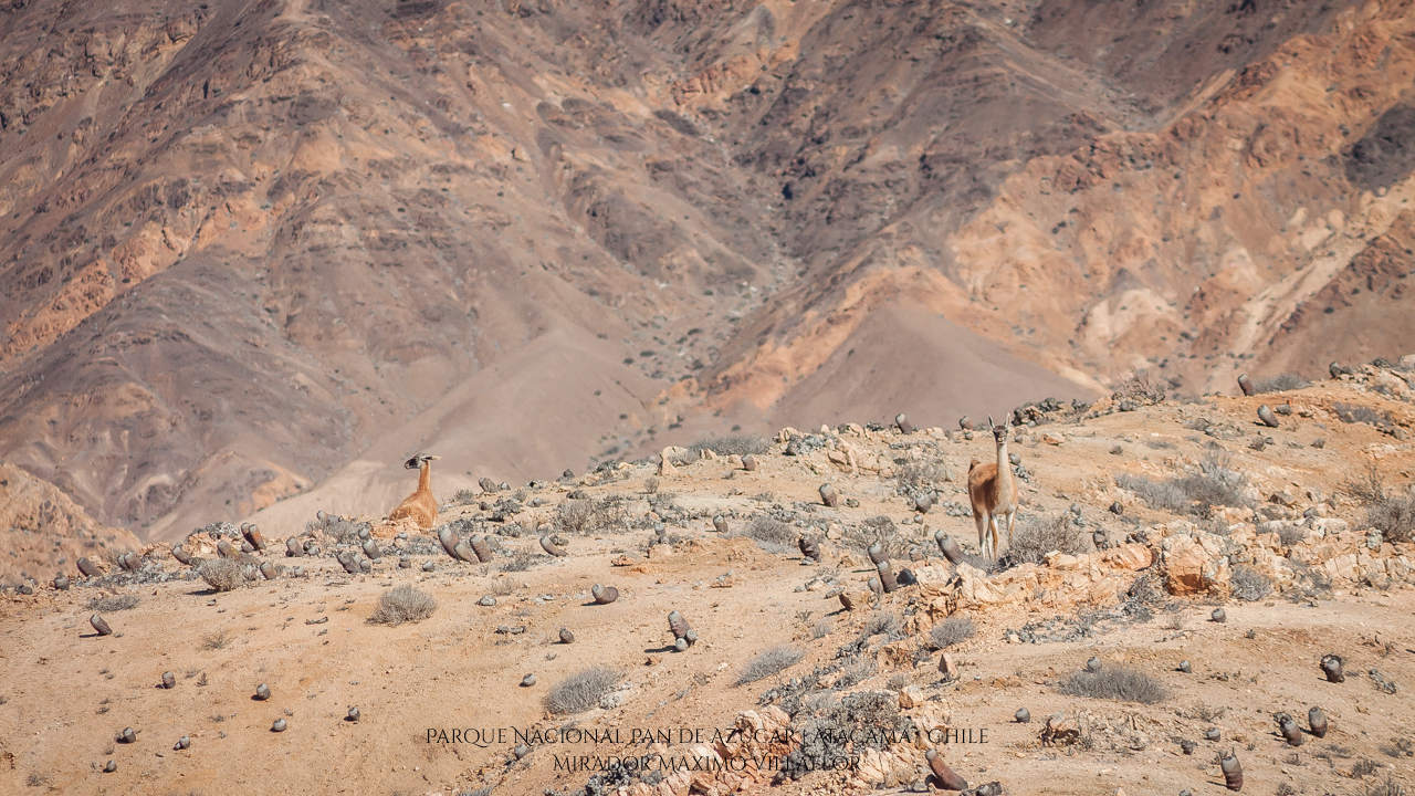
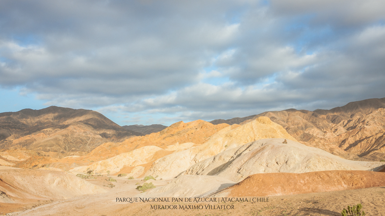
En su recorrido es posible observar cactaceás y suculentas propias del desierto costero, la ruta se abre paso por bellos campos de copiapoas columnares rodeadas de un paisaje que no deja indeferente con sus matices, para encontrar a mitad del recorrido una vista privilegiada hacia el borde costero, donde destaca la Caleta Pan de Azúcar lugar en el que concluye el recorrido.
Se recomienda no salirse de la ruta, llevar ropa liviana, lentes de sol, bloqueador solar, binoculares y agua.
La altitud de inicio del sendero es de 15msnm y la altura máxima de 318msnm.
Posee una dificultad media con tramos de pendientes fuertes.
The trail begins at the Infomation Center, where the parking lot is located.
The route is northeasterly by the old fluvial cone of the «Quebrada Pan de Azúcar», it is the only self-guided circuit available in the unit, it has a total distance of 11 kms, which is possible in approximately 4 hours.
On its way it is possible to observe cactaceas and succulents typical of the coastal desert, the route opens through beautiful fields of Copiapoas, surrounded by a landscape that does not leave indifferent, at the halfway you will find a viewpoint with a privileged view towards the coastal edge and the «Pan de Azúcar Island» , where highlights the «Caleta Pan de Azúcar» place in which the trail ends.
It is recommended not to leave the route, wear light clothes, sunglasses, sun block, binoculars and water.
The starting altitude of the trail is 15masl and the maximum height is 318masl.
It has a medium difficulty with stretches of strong slopes.
Mapa de atractivos del Parque Nacional Pan de Azúcar
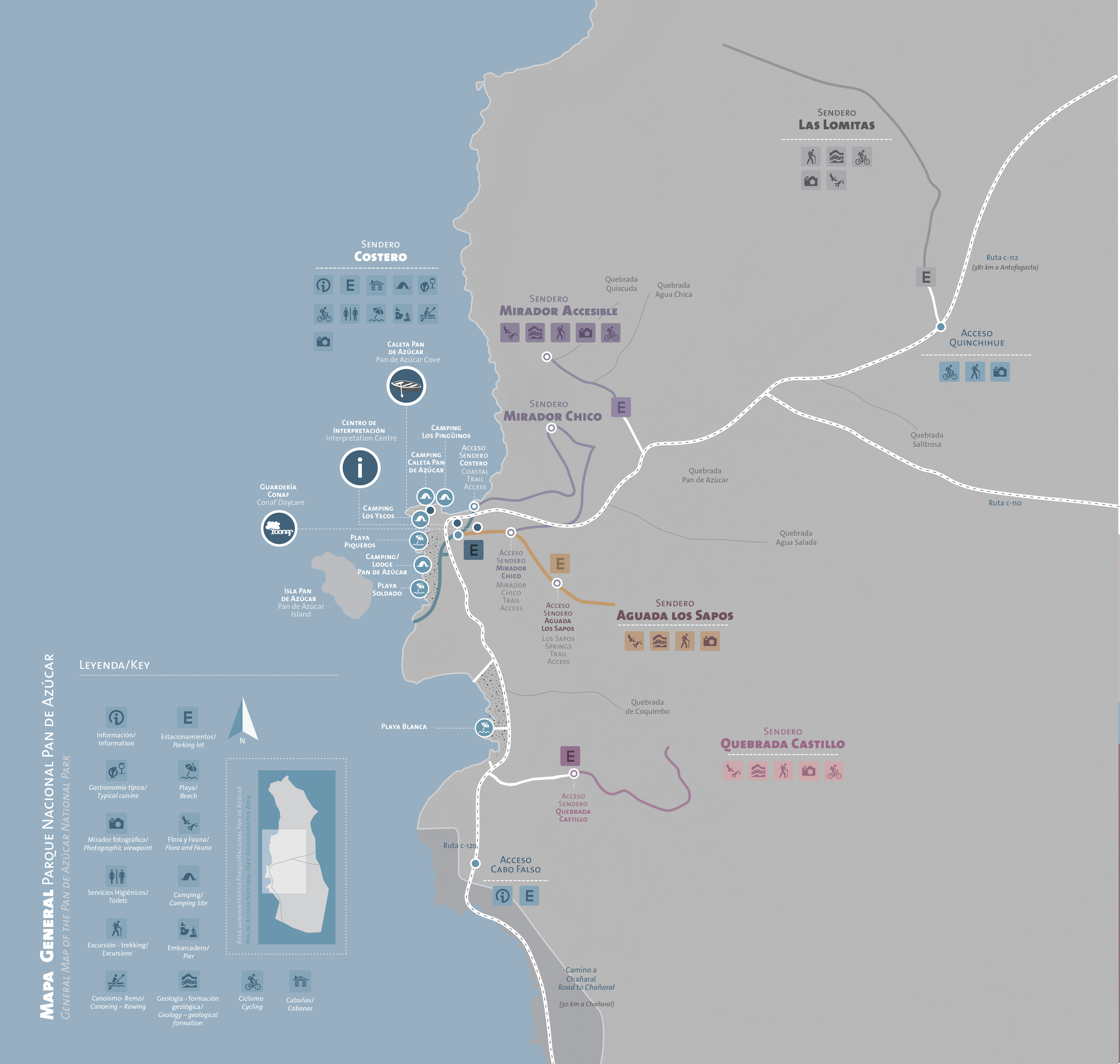
Ubicación | Location | Google Maps
Fotografías | Photos

RUTAS y PUNTOS DE INTERES | Descarga archivo kmz
ROUTES & POINTS OF INTEREST | Download .kmz file
